SpaceX plans to launch the Transporter-18 mission from Vandenberg Space Force Base in California on 1 October.
Among the 130 satellites and other payloads on the Falcon 9 rocket will be MOI-1A from Indian company TakeMe2Space, a satellite weighing about 14 kilograms, equipped with a camera that records nine different parts of the light spectrum and a computer powerful enough to process part of the recorded material while still in orbit. If the launch is delayed, SpaceX has set 2 October as a backup date.
TakeMe2Space aims to transform a workflow that has remained largely unchanged for decades.
Traditionally, the satellite records the Earth, stores the data, waits for a connection with the ground station, sends the images, and only then does processing and interpretation begin once they arrive on Earth.
The MOI-1A inserts analysis between recording and transmission. The user can prepare their own programme, define the area they want to monitor, and receive the result of the analysis a few minutes after the satellite has flown over it.
For a farmer, insurance company or fire monitoring service, it is often more important to obtain accurate information quickly than to first download and analyse a large volume of satellite imagery.
The recording is just the beginning
Earth observation satellites today monitor crops, forests, seas, ice, cities, mines, roads, fires, floods and changes in terrain.
Their cameras capture far more than a person can see in an ordinary photograph.
By observing different parts of the light spectrum, they can detect changes in vegetation, the presence of water, traces of fires, marine pollution and surface changes that are not yet visible to the naked eye.
The volume of such data is growing rapidly. Improved sensors capture more detailed images and observe the same areas more frequently, while the satellite can connect with ground stations only along certain parts of its path.
Transmission time is therefore limited, and each new sensor further increases the amount of material that must be transmitted.
Once the footage arrives on Earth, it must be received, processed and reviewed before the user obtains the information they actually need.
In some tasks, a few extra hours make a difference, while in others it is timing that determines the value of the data.
The difference is similar to the gap between sending an entire archive to someone looking for a specific fact and sending only the document that contains that fact
A fire service monitoring a major blaze needs to know as soon as possible where a new hotspot has appeared and how it is developing.
After a flood, emergency services need to know which roads have been cut and which neighbourhoods have been affected.
An agricultural company benefits from early warning that the condition of crops in one part of a large property has suddenly diverged from the rest.
In maritime surveillance, information about a ship in an unusual location can lose much of its value if it arrives several hours late.
The computer on the satellite can review the images as soon as they are created, select those that meet the task requirements, and send the results together with the material needed for verification.
Ground computers then take over the more detailed part of the work, significantly shortening the path from observation to the first useful information.
In practice, the difference is similar to the gap between sending an entire archive to someone looking for a specific fact and sending only the document that contains that fact.
From experiment to service
Processing data directly on satellites has already moved beyond the stage of purely laboratory experimentation.
The European Space Agency demonstrated with the PhiSat-1 mission that an artificial intelligence-based programme can recognise cloud-obscured footage in orbit and save time by transmitting only content that is genuinely worth sending.
Its successor, PhiSat-2, launched in 2024, carries programmes to detect ships, fires and marine pollution, as well as to compress images before sending them back to Earth.
In 2025, NASA demonstrated a new level of autonomy on the CogniSAT-6 satellite.
The satellite previewed part of its upcoming path, the computer analysed the footage in less than 90 seconds, and the system then directed the instrument towards a section of terrain that warranted closer inspection.
The technology was first used to avoid clouds, and the same principle can be applied to searching for fires, volcanic activity, or other short-lived phenomena.
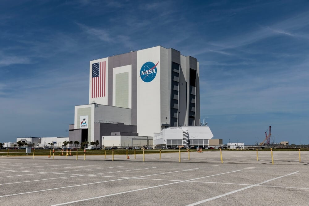 In 2025, NASA demonstrated a new level of autonomy on the CogniSAT-6 satellite
This year, Planet tested a system on the Pelican-4 satellite that can analyse images in orbit and recognise objects important to the user within a few minutes.
TakeMe2Space is now seeking to offer a similar capability as a commercial service.
Through the OrbitLab platform, users can select an observation area, prepare an analysis programme and send it to a computer in orbit, without investing in their own satellite or mission control centre.
The company states that the result will arrive in the user’s system between five and 15 minutes after recording.
Regular operation of the MOI-1A will show how reliable that turnaround time is in practice.
The business idea is simple: to offer ready-made information from space to companies that monitor crops, mines, coasts and shipping routes.
Such a model could expand the market for satellite services. For many companies, maintaining their own team and infrastructure to process large volumes of satellite imagery is too expensive and too complex an investment. If they can pose a specific question and receive a processed result, satellite data becomes accessible to a much wider range of users.
TakeMe2Space reports that the MOI-1A already has 23 users in agriculture, mining, logistics, insurance and other sectors.
This user base already indicates where the company is looking for its first customers and in which activities it expects processing speed to justify the price of the service.
Speed changes the value of information
The greatest value of this technology is likely to be seen in businesses where information quickly becomes outdated.
Satellite companies have been competing for years on resolution, satellite numbers and the frequency of flybys.
Now another benchmark is coming into play: the time between the satellite observing an event and the user learning what has happened.
It may also change how satellite services are sold. A customer who orders harbour footage today can request an alert tomorrow when a specific type of ship appears at the anchorage.
In-orbit processing allows a specific event to be identified immediately and prioritised for transmission
An insurer can request an estimate of which buildings have been affected by flooding within minutes of the overflight.
The owner of a large agricultural area can receive an alert as soon as the satellite detects changes indicating a lack of water or plant disease.
Instead of receiving a large number of recordings that still need to be reviewed, they receive information about where the problem has occurred and how serious it is.
Security and military applications have even more stringent requirements. When a satellite detects a change at an airport, port or along a border, a few hours may be enough to alter the situation completely. In-orbit processing allows a specific event to be identified immediately and prioritised for transmission.
A person then checks the finding and determines its significance, while the system reduces the time needed to detect any event that requires attention.
Orbit comes at a price
Computers in space operate in far more demanding conditions than equipment in a ground-based centre.
Their power supply depends on solar panels and batteries, their electronics are exposed to radiation, and heat removal in a vacuum requires specialised engineering solutions.
A hardware failure can restrict a satellite’s capabilities for the rest of its mission, and every additional kilogram increases launch requirements.
At the same time, the available energy determines how long a powerful computer can run at full capacity.
Enabling the software itself to decide what deserves attention is even more challenging.
The commercial viability of large computing systems in space still has to be proven by overcoming a number of technical and economic challenges
A recording that seems insignificant today may later become important for investigation, scientific comparison or the reconstruction of an event.
For this reason, in-orbit processing will evolve alongside rules about what is retained, how much material is sent back to Earth and how sufficient data is stored so that the result can be verified later.
Google’s Project Suncatcher shows how far ahead the industry is thinking. On 1 October, the company will send the first prototype to test its AI processors in a real space environment.
The project’s long-term goal is to create a much larger computing infrastructure in orbit.
The upcoming flight has a more modest task: testing the behaviour of the processor, power supply, cooling system and radiation resistance.
The commercial viability of large computing systems in space still has to be proven by overcoming a number of technical and economic challenges.
Who is the first to turn the recording into information?
The most interesting consequence of such a model could be the ability of a single satellite to change the work it performs during a multi-year mission.
Its camera and other equipment remain the same, but the processing programmes can be updated from Earth.
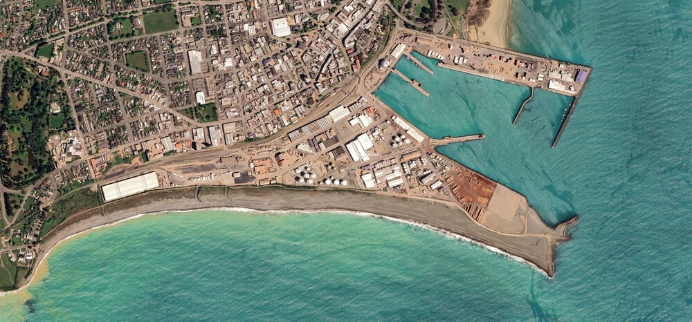 The value of the satellite depends less on the equipment installed before lift-off, and more on how effectively its capabilities can be adapted to new needs during operation in orbit
A satellite that looks for changes in crops today can analyse the consequences of a flood tomorrow, and a few months later be adapted to a task that did not even exist at the time of launch.
Thus, the value of the satellite depends less on the equipment installed before lift-off, and more on how effectively its capabilities can be adapted to new needs during operation in orbit.
The MOI-1A will therefore first be tested on a very practical question: can an agricultural company, an insurance company, a mine, a logistics firm or a research team obtain useful information more quickly and at lower cost than today?
If this is confirmed, customers of satellite services will increasingly pay for the answer to a specific question, and the recording itself will become just one step in the overall process.
For future satellites, this shifts the criteria for success. Camera quality, flyby frequency and connection reliability will remain critical for effective Earth observation, and the time required to turn footage into usable information will become equally important.
This is where sending a computer into orbit makes sense: it shortens the gap between what the satellite sees and the moment when someone on Earth can respond.